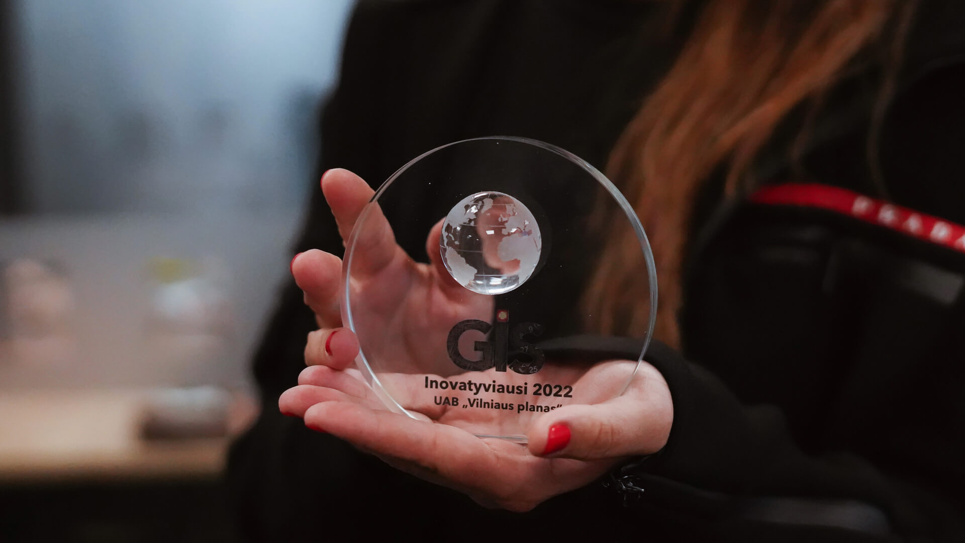
Geographic Information Systems (GIS) professionals, organisation managers and digital map enthusiasts gathered for the biggest professional event of the year, the Lithuanian Esri GIS Users’ Conference, to vote for the most innovative GIS organisation of the year. This year’s winner was Vilnius Plan, beating out ESO, Bank of Lithuania, GIS Centre and others. “At the conference, we reviewed Esri’s GIS technological innovations, the achievements and application experiences of Lithuanian ArcGIS users. The audience was not indifferent to the digital solutions of Vilnius city and the dynamics of GIS development – Vilnius 3D(https://3d.vilnius.lt), Intelligent Lungs of the City(https://miestoplauciai.vilnius.lt), Vilnius Legs (https://vilniuskojoms.lt), Interactive Maps of Vilnius (https://maps.vilnius.lt), and others are some of the most prominent and widely used in Lithuania. “Last year was a very productive year for Vilnius Plan, so the award for the most innovative GIS organisation is very timely and well deserved,” congratulated the winners, said Linas Gipiškis, Head of Hnit-Baltic, Esri’s representative in the Baltics. “Vilnius is a smart city for which we provide the most innovative solutions, so I am delighted to be recognised by professionals in the field. We are building the city of the future using Esri, artificial intelligence, drones and many other technologies. In our team, it all starts with the data that surrounds the society, collecting it, analysing it and finally creating solutions based on the data,” says Eglė Radvilė, Head of Intelligent Solutions and Data Management at Vilniaus Plan. By collecting and analysing a wide range of data from the city of Vilnius, Vilniaus Plan is creating a smart city – the Digital Twin of Vilnius. Using artificial intelligence and other technologies, the company has developed products for the city that will help plan the capital’s development in different directions. One of these is transparent infrastructure assessment and decision-making. “Through technological innovation, we are not only enabling the city to assess and discover its potential, but also to ensure the quality of life of the citizens. The data analysed by our company can help solve issues of street maintenance, development of street infrastructure and other aspects that are very important in the everyday life of Vilnius citizens,” Rokas Petravičius, GIS expert, tells about the services developed by Vilniaus Planas. The use of innovative technologies helps to address not only infrastructure issues, but also environmental ones. This year, Vilnius Plan has launched the Intelligent Lungs of the City website, where the capital’s air quality and pollen concentrations can be monitored in real time. It is the first system in Lithuania where air pollution and air quality data is updated every minute and pollen concentrations in the city every hour. The data displayed in the city lungs can be important not only for the municipality or environmental authorities, but also for residents who are sensitive to air pollution or pollen. Bioaerosol concentration information is particularly relevant and useful for pollen allergen-sensitive individuals who want to avoid health effects. Residents can assess the risk or take preventive measures to reduce allergic reactions.
Vilnius Plan receives outstanding recognition from Lithuanian GIS community
2022-06-22