40 routes, slopes, hills, streams and historic buildings – all on offer in one of Interactive maps of Vilnius City – “Vilnius for legs”. Given the realities of today’s war in nearby Ukraine, the trails are also a charge of spiritual security for our compatriots.
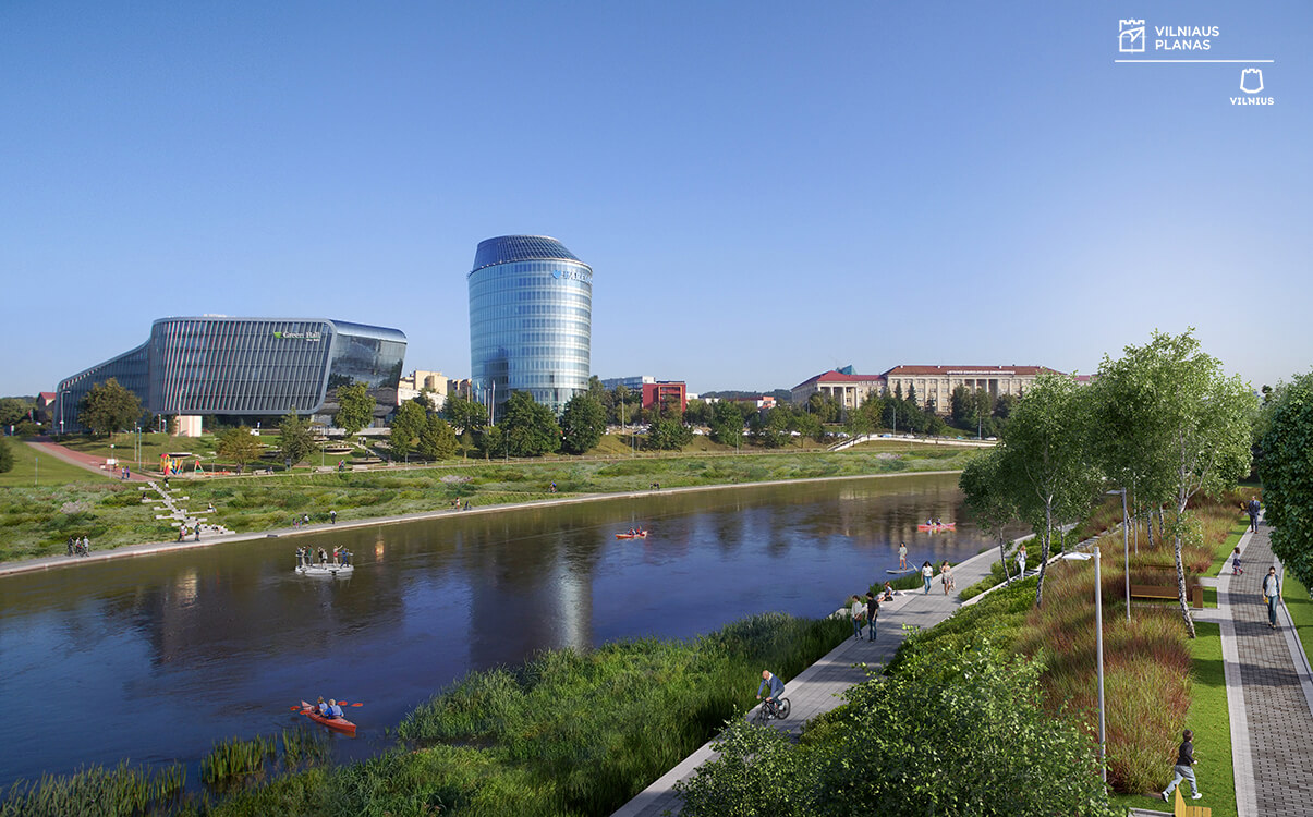
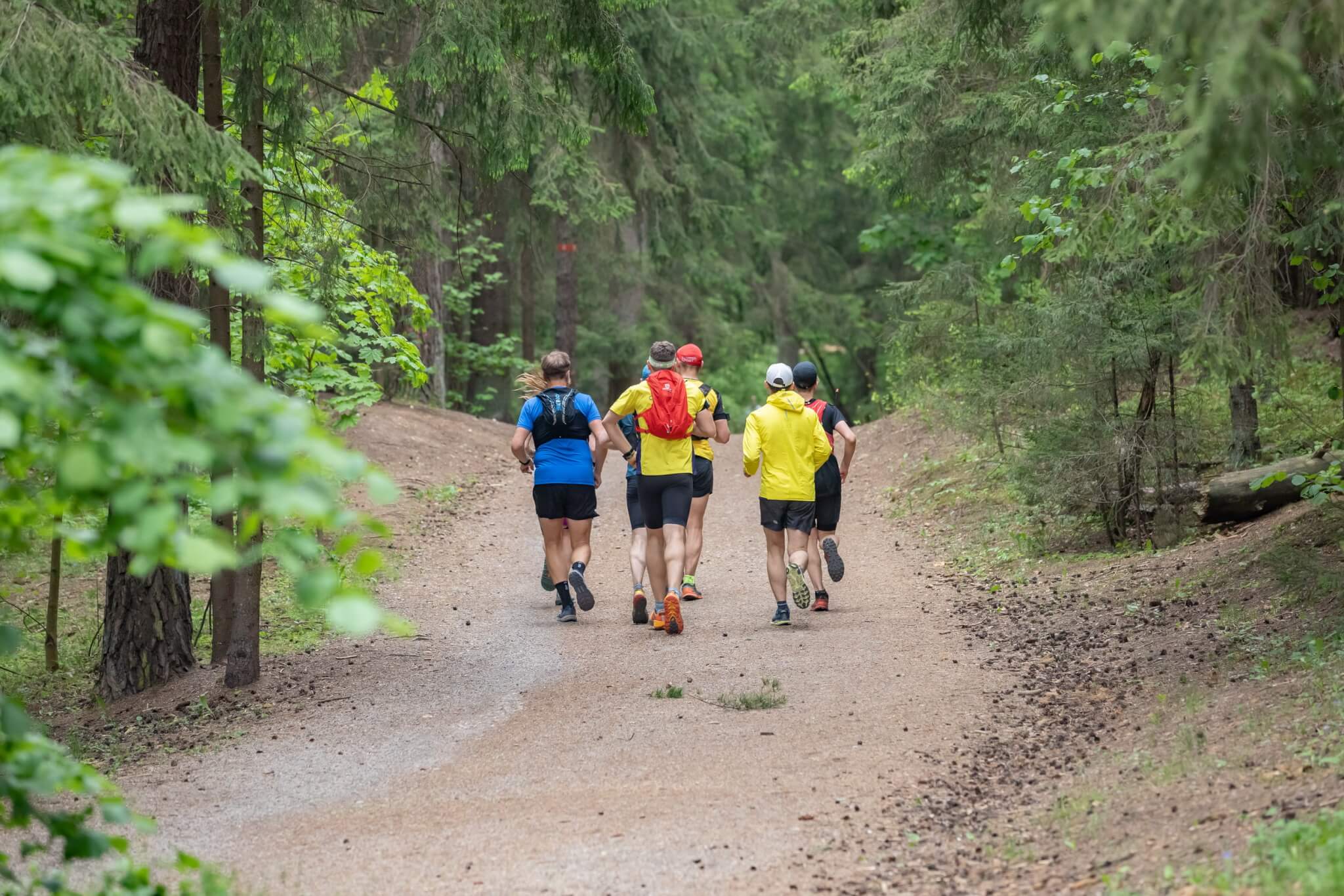
“Vilnius for Feet not only offers leisure and everyday walking routes, but also a 100-kilometre trail around Vilnius.
Experts consider that the maps compiled by Vilnius Plan are a great help for residents to find information in one place. However, the maps for active leisure may lack some integrity, not least with cultural institutions, but most maps are constantly updated and supplemented.
“This year, such structured maps will continue to be “on the wave”, – Ilona Joz?nien?, the head of the largest local tourism agency “Kelioni? laikas”, is convinced – “Due to various restrictions on travelling abroad, Lithuanian eyes are still focused on our region. We have already discovered that it is possible to get to know something without going anywhere.”
“The routes are really worthy of attention,” Tadas Kertenis, the head of the travel agency Tedo, agrees with I. Joz?ni?a, “If you choose which route you would like to take, you will easily find the marked cultural objects, information boards, or the nearest public transport stops to reach them. If you want to bypass Vilnius, you can also choose the 100 km route. The route can be completed in less than a weekend, so you won’t have to worry about the journey. In the future, such routes could also be linked to the still popular “Geocatching” game. Other cities could also structure public routes in one place. At the moment, you can often try out individual parts of a given track if you know it personally.
Psychologist Tomas Lag?navi?ius sees the Vilnius for Legs tracks as an immediate help to feel safe.
“In the current difficult period, three types of people are even more evident – those who fight, those who provide aid and those who engage in some kind of ritual,” said T. Lag?navi?ius, “If it is impossible to change the situation, and one needs to calm down, then perhaps one can draw strength from nature.
“I would liken walking to a ritual act, so people’s willingness to walk several kilometres or more is not accidental,” said the psychologist.
Vilnius Plan staff themselves are already seeing results in terms of the number of visits. More than 120,000 people visited maps.vilnius.lt last year, and 80,000 people visited the Vilnius for Feet maps.
“The idea to organise not only the sightseeing trails and routes, but also other relevant information for Vilnius residents and integrate it in one place was born back in 2014. Some of the interactive maps are constantly being updated, and we are trying to offer the city new themes and open up more and more data,” said Aurelijus Deksnys, Head of the GIS Department of Vilnius Plan.
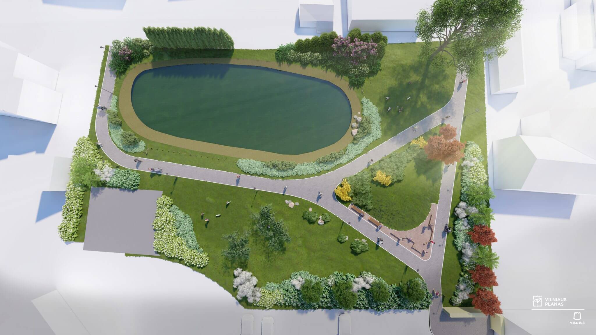
According to A. Deksnis, how to diversify your leisure time can be found not only in “Vilnius for legs”, but also in the “Leisure time” topic of the interactive map. The latter provides information not only on pedestrian routes, but also on green stops where you can sit down and rest, dog walking areas where you can bring joy to your pet, and playgrounds for children. This is especially handy if you’re going on a hike with the whole family. Interactive maps have the advantage that we can find out in one place not only what’s happening around our home environment, but also around the city.
Interactive maps of Vilnius The data covers more than 20 topics, from leisure or urban nurseries with vacancies to investment projects. The map currently hosts more than 180 layers on different topics, allowing residents to find the information they need quickly and easily. And if you have difficulties, you can use wizardsto help you get lost on interactive maps.