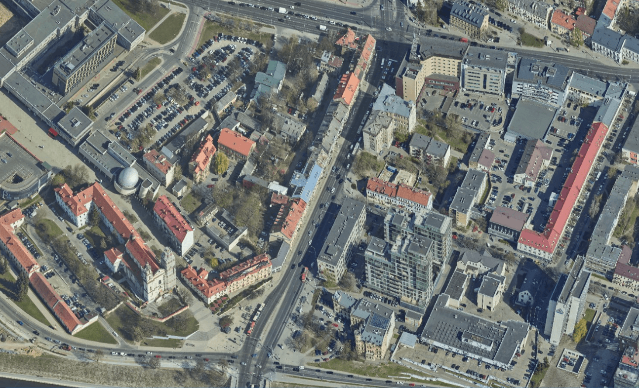
The spatial map of Vilnius?allows you to monitor and assess the city’s changes, connectivity and geographical features. On this map, you can view a model of the real situation of the city, created using orthophotos, oblique aerial photographs and a 3D model of the real situation.
Spatial map of Vilnius