Vilnius City Municipality is reducing the amount of openly available urban spatial data in line with recommendations from public authorities. Following the recommendations of the National Crisis Management Centre published at the end of February, the availability of images of military and other strategically important territories and objects specified in the Resolution of the Government of the Republic of Lithuania “On the Approval of the List of Specific Facilities and Assets Important for National Security” has been limited. This is important for urban security. Graphical corrections are currently being made to the interactive orthophoto maps of strategically important sites and objects at https://maps.vilnius.lt/, https://erdvinis.vilnius.lt/, https://3d.vilnius.lt/, and these maps will not be publicly available to the public until the end of March. As part of the implementation of the recommendations, the possibility to view and download the underground infrastructure, layout of communications, engineering networks, technical characteristics and other information of the above-mentioned objects has been suspended, and the image of the strategically important sites and objects on the maps has been removed. It is not yet clear how long this data will remain closed. Vilnius City Municipality intends to decide on more secure options for opening this data to the public.
National security concerns temporarily reduce the amount of open access spatial data available in Vilnius Municipality
2023-03-21
2023-03-01
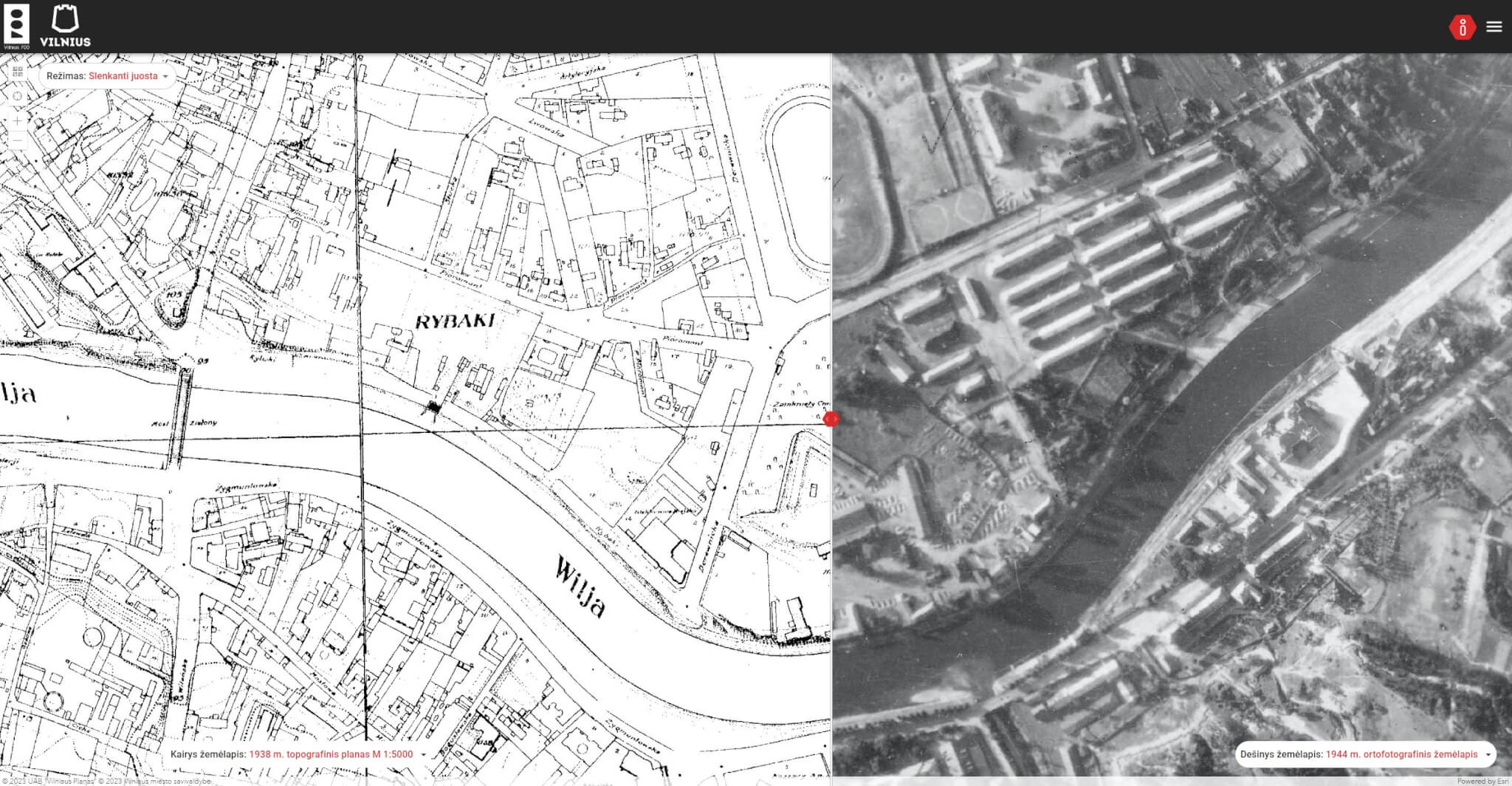
Vilnius DNA web portal launched: invites those interested in the capital’s history to explore Vilnius through maps
2022-11-18
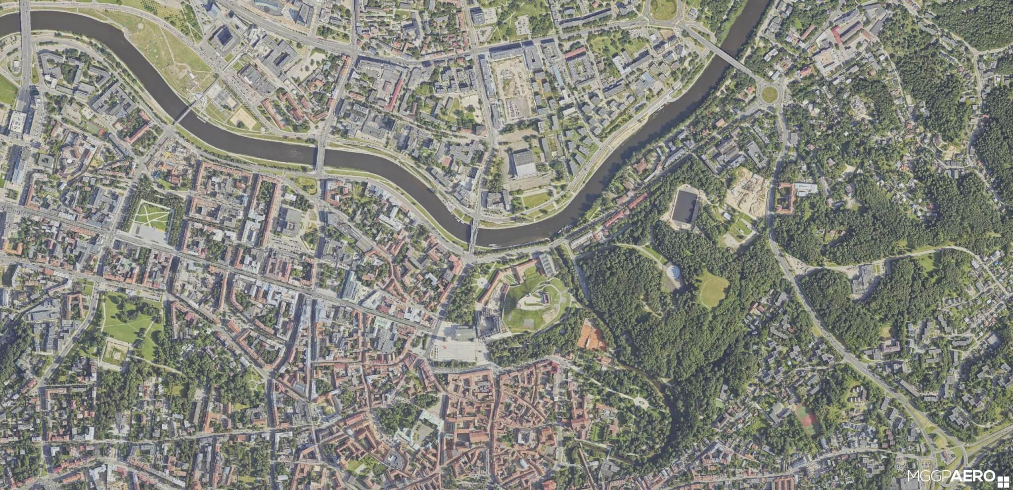
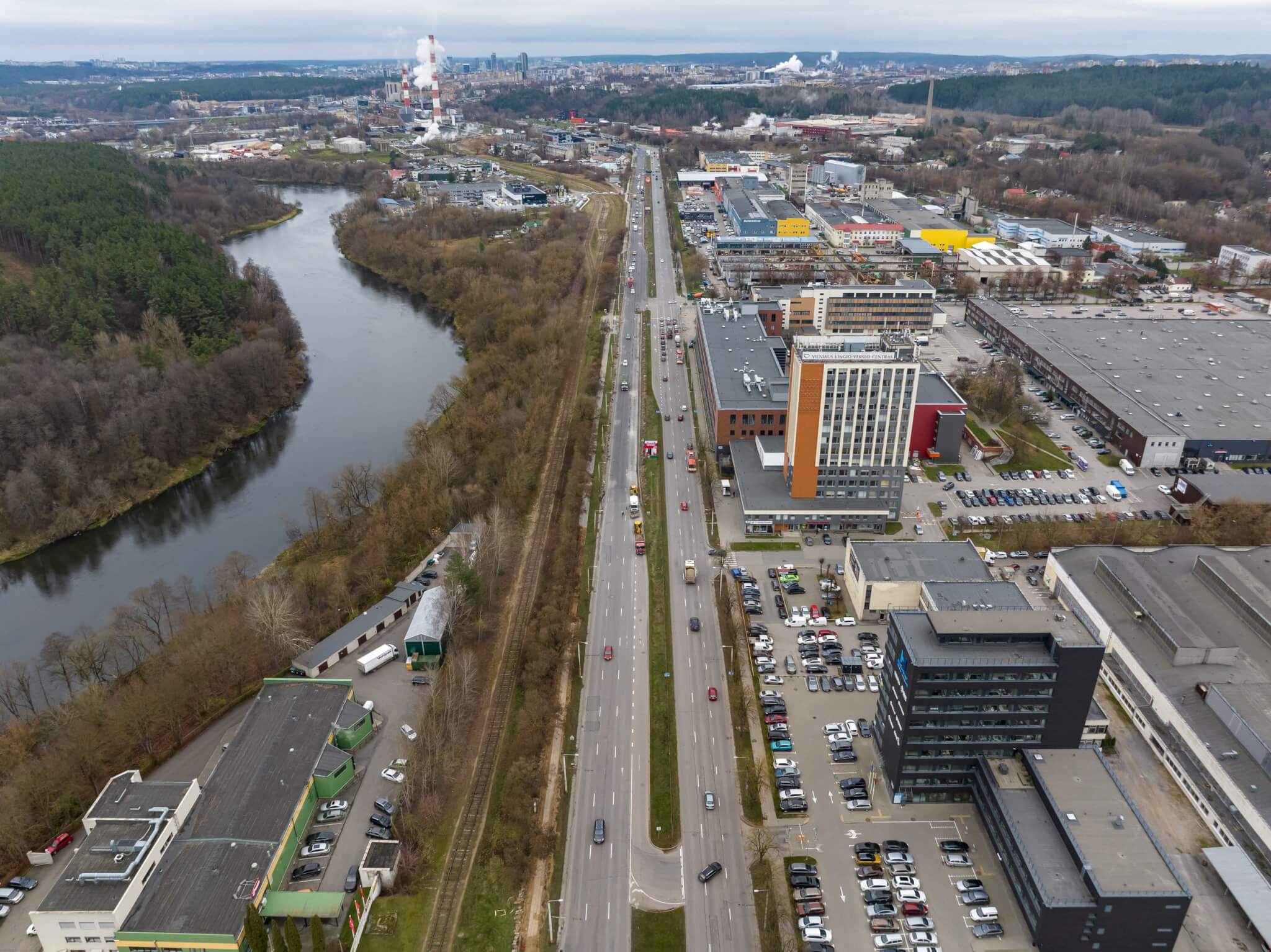
Vilnius transformations in one portal: from industrial areas to city gates
2022-11-11
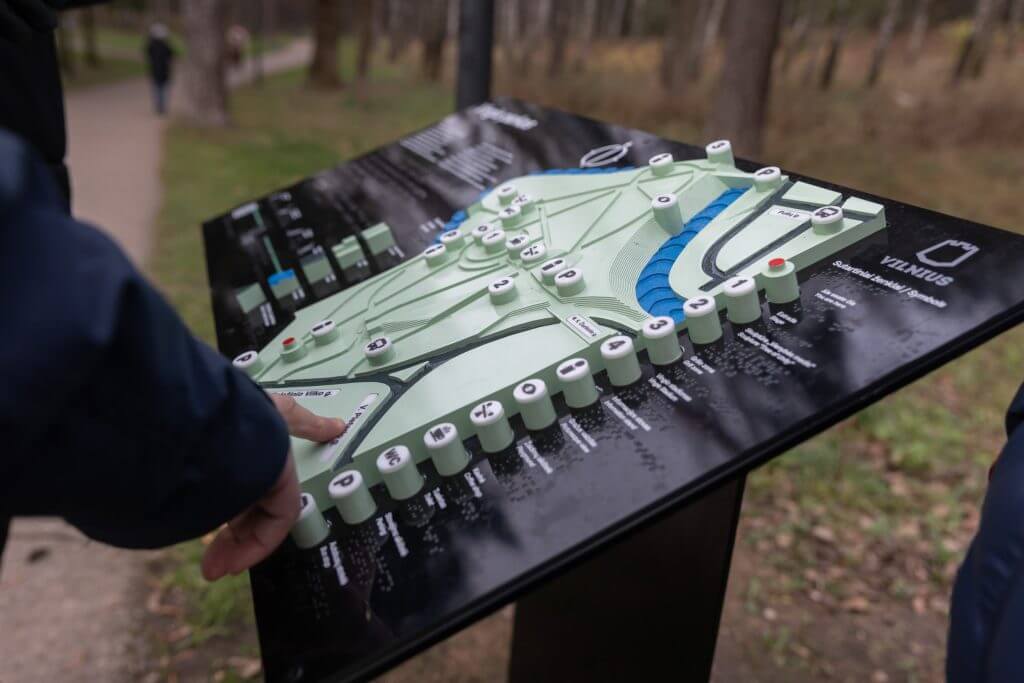
Universal design maps to be installed in Vilnius parks

2022-08-24