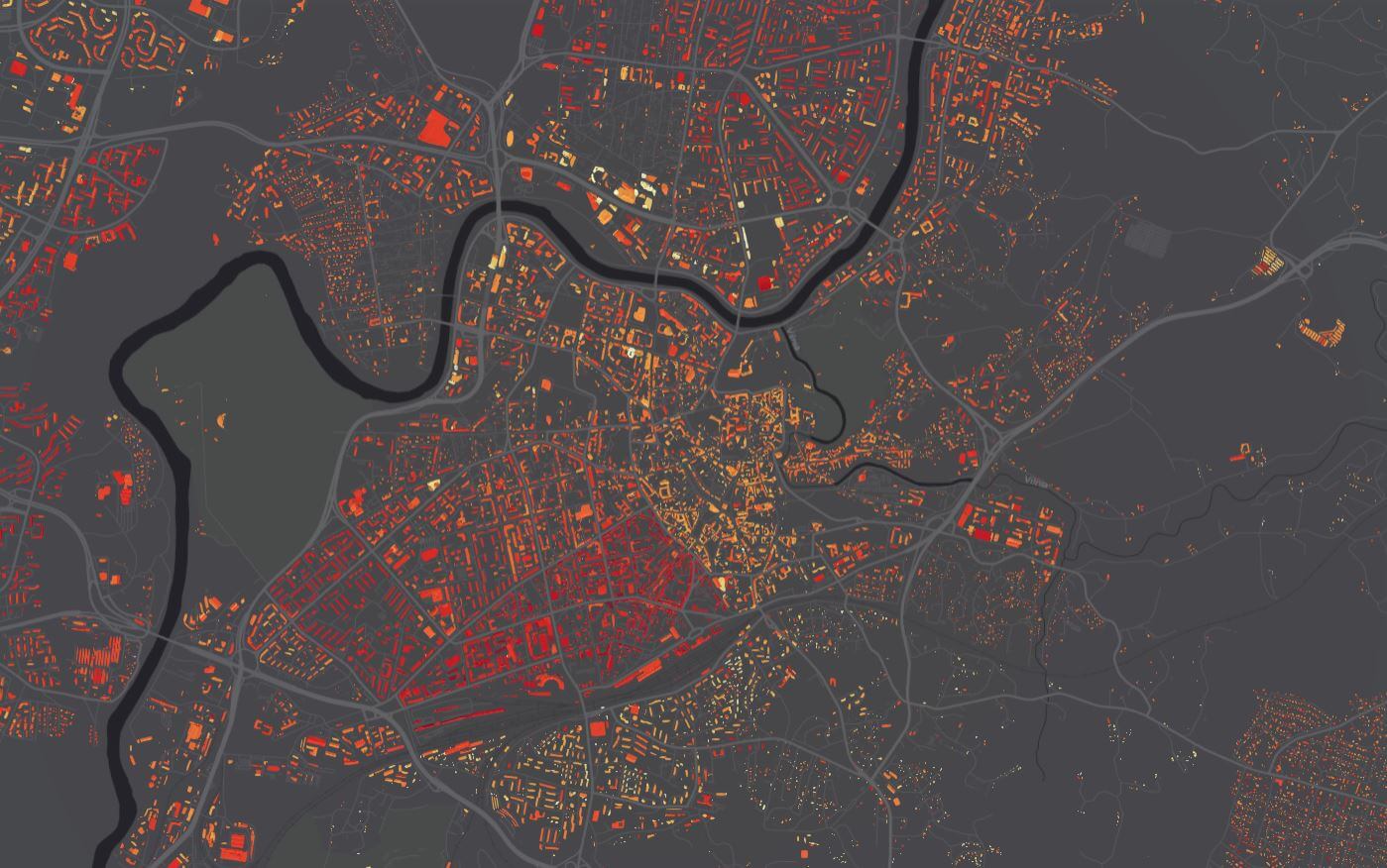
“Vilnius Plan is creating opportunities for the city’s residents and businesses to choose green energy by showcasing the potential of solar energy. Expanding the services of the Vilnius City 3D portal 3D.vilnius.lt, the solar energy potential of the city is presented, allowing to assess the level of existing solar radiation in the city and the potential for installing solar power plants. You can assess the city’s solar potential here: https://3d.vilnius.lt/scenos/saules-energijos-potencialas Solar potential is calculated as the total solar radiation, which consists of direct, diffuse and reflected solar radiation. It gives an estimate of the potential of each urban surface to absorb solar radiation and produce environmentally friendly energy. The implementation of this system is an important step for Vilnius towards a green energy city. The system is expected to help increase the number of solar power plants installed, as the information is presented in a clear and easily accessible way. The interactive map shows the solar potential not only on the rooftops of buildings, but also on the territory of the entire municipality. A digital surface model has been used to calculate the area, so that the map takes into account vegetation, tree canopies, structures and other obstacles. For the roofs of the buildings, grids of one square metre were generated, giving the annual solar potential in kWh, and the total potential for the entire roof of the building per year in kWh/roof. All this information can be seen by the occupants in the 3D visualisation of the buildings – each area that can be used to generate solar energy is marked with the corresponding intensity colour. City residents interested in renewable energy sources, renovation of apartment buildings, public buildings or neighbourhoods will find it easier and simpler to assess the feasibility of installing solar power plants or collectors. The information can also be used to analyse vacant and undeveloped areas, public spaces, parks or planting. The calculations in the new system are preliminary and require more detailed analysis or expert advice before decisions can be made.
A new layer on the interactive map of Vilnius – a focus on solar energy
2021-03-05
2021-02-26
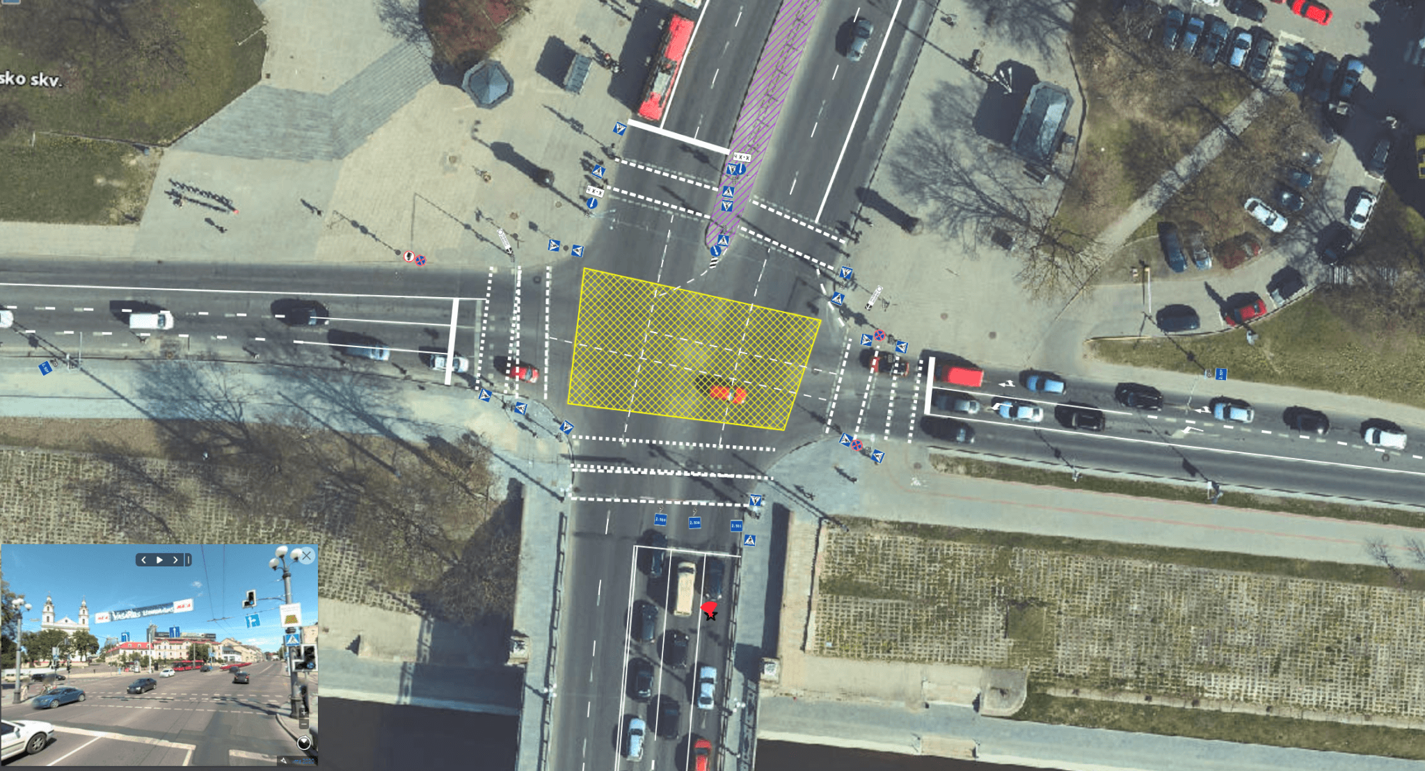
“Vilnius Plan app – the complete Vilnius traffic organisation

2020-11-20
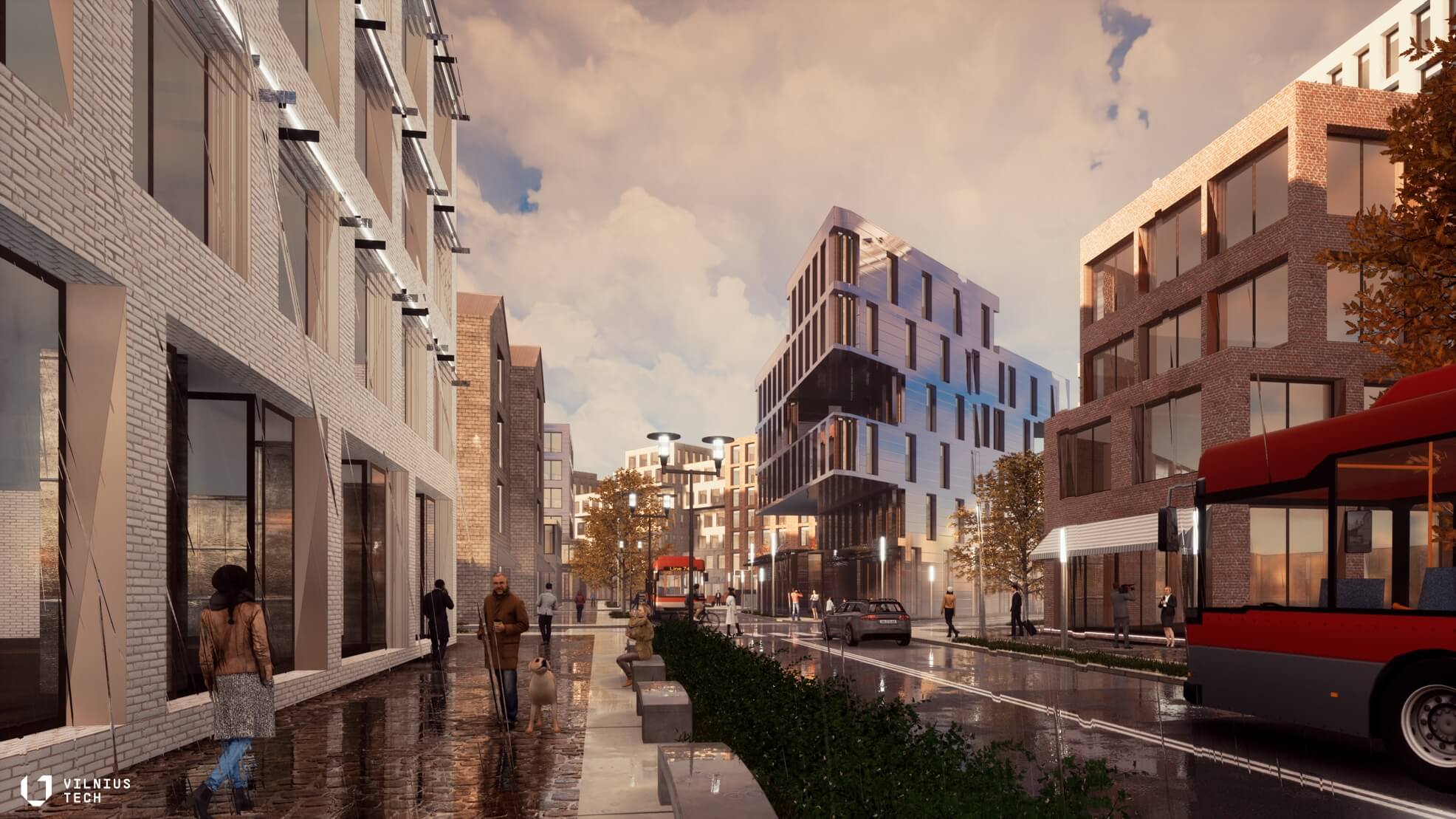
A new pedestrian alley will connect the Old Town with the New Town
2020-11-05
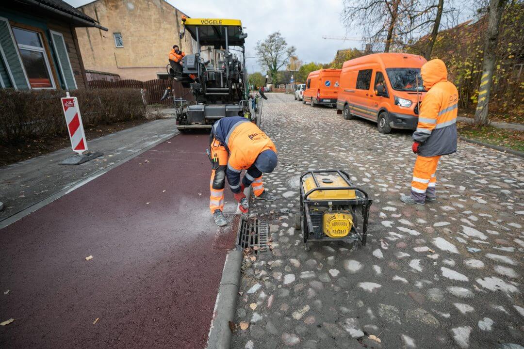
Historical stone pavement restored in the reconstructed S. Fino Street in Šnipiškės
2020-11-03