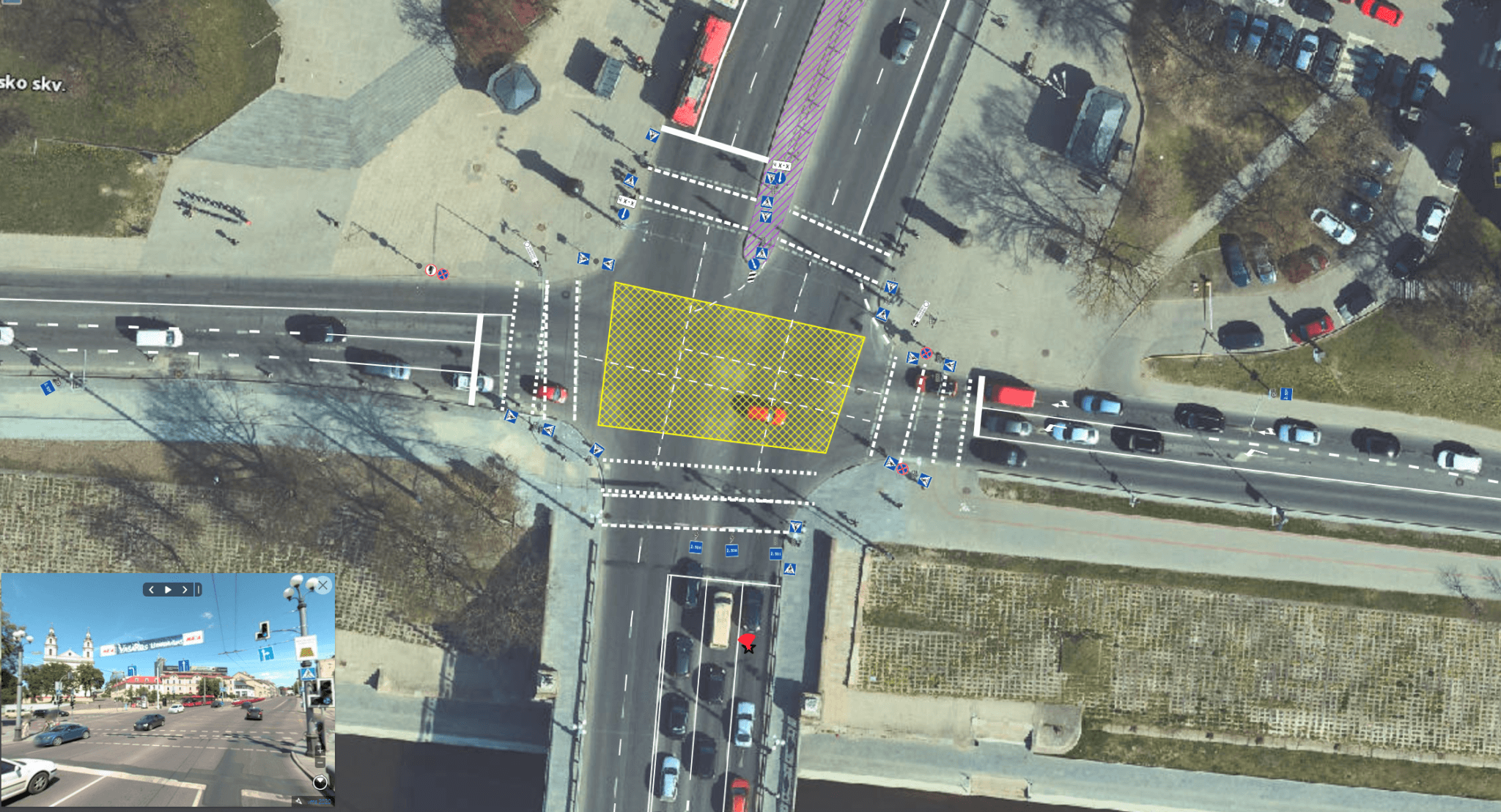
The application developed by the Vilnius Plan SE displays all traffic organisation measures, including more than 1 400 km of Vilnius City street (horizontal marking) elements and more than 60 000 vertical road signs. After a year of work, the app developed by Vilnius City Council staff allows them to assess all the traffic management measures in the city, from road signs to deceleration hills. “The inventory of traffic management measures and the street scanning information has clearly improved our work processes. Situational analysis and decision-making have been speeded up, with statistics helping us to prepare procurement and track work volumes. Of course, the application required the development of new working methods, but its benefits have been appreciated not only by the employees of Vilnius City Municipality, but also by contractors carrying out works in Vilnius”, says Rimantas Baravykas, Head of the Traffic Organisation Division of Vilnius City Municipality, about the new application and its applicability at work. From now on, Vilnius City Municipality employees can see all the road signs in the city, their location, number of the road sign, date of installation, height of the post, condition and other objects recorded on the road (traffic lights, deceleration hills, etc.). The system allows staff to register new road signs or delete old signs that have already been removed, as well as to assess and validate the work carried out by logging on to a computer or mobile phone. “This is the first system in Lithuania to integrate not only vertical photos of road signs, but also panoramic street view images. With just a few clicks, the app provides all the information about road signs and other objects on the street. In line with the Vilnius City Municipality’s “2IN” strategy, Vilnius Plan aims to digitise the municipality’s work processes and facilitate everyday work through smart solutions,” said Haroldas Bertulis, Head of the Analysis and Modelling Department of S? “Vilniaus Plan”, introducing the solution. The traffic management measures displayed in the application are characterised by exceptional accuracy – the signs visible on the streets, their exact geographical position and other indicators were identified using 360-degree photos. This data is also available to the public, as the collected panoramic image data has been made available on the Mapillary platform. One of the most accurate technologies for inventorying and displaying horizontal marking data is LiDar scanning information, which has been used to identify road markings with an accuracy of 1 cm. Future plans are to extend the functionality of the system by adding a traffic management design environment, a signing scheme environment and the possibility for municipal staff to supervise the implementation of the order and the acceptance of the work.
“Vilnius Plan app – the complete Vilnius traffic organisation
2021-02-26

2020-11-20
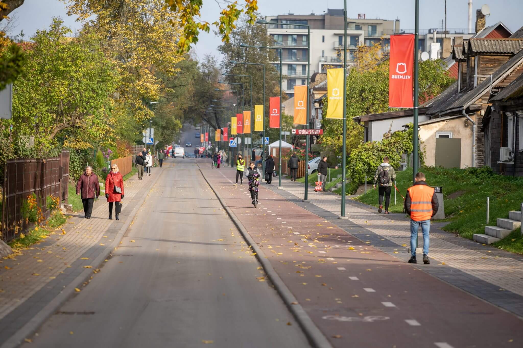
A new pedestrian alley will connect the Old Town with the New Town
2020-11-05
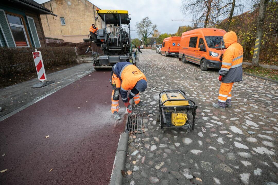
Historical stone pavement restored in the reconstructed S. Fino Street in Šnipiškės

2020-11-03
Cooperation between Vilnius Plan and Vilnius Tech: innovations for the development of the capital
2020-10-23